Phone Number
(231) 349-5799
About
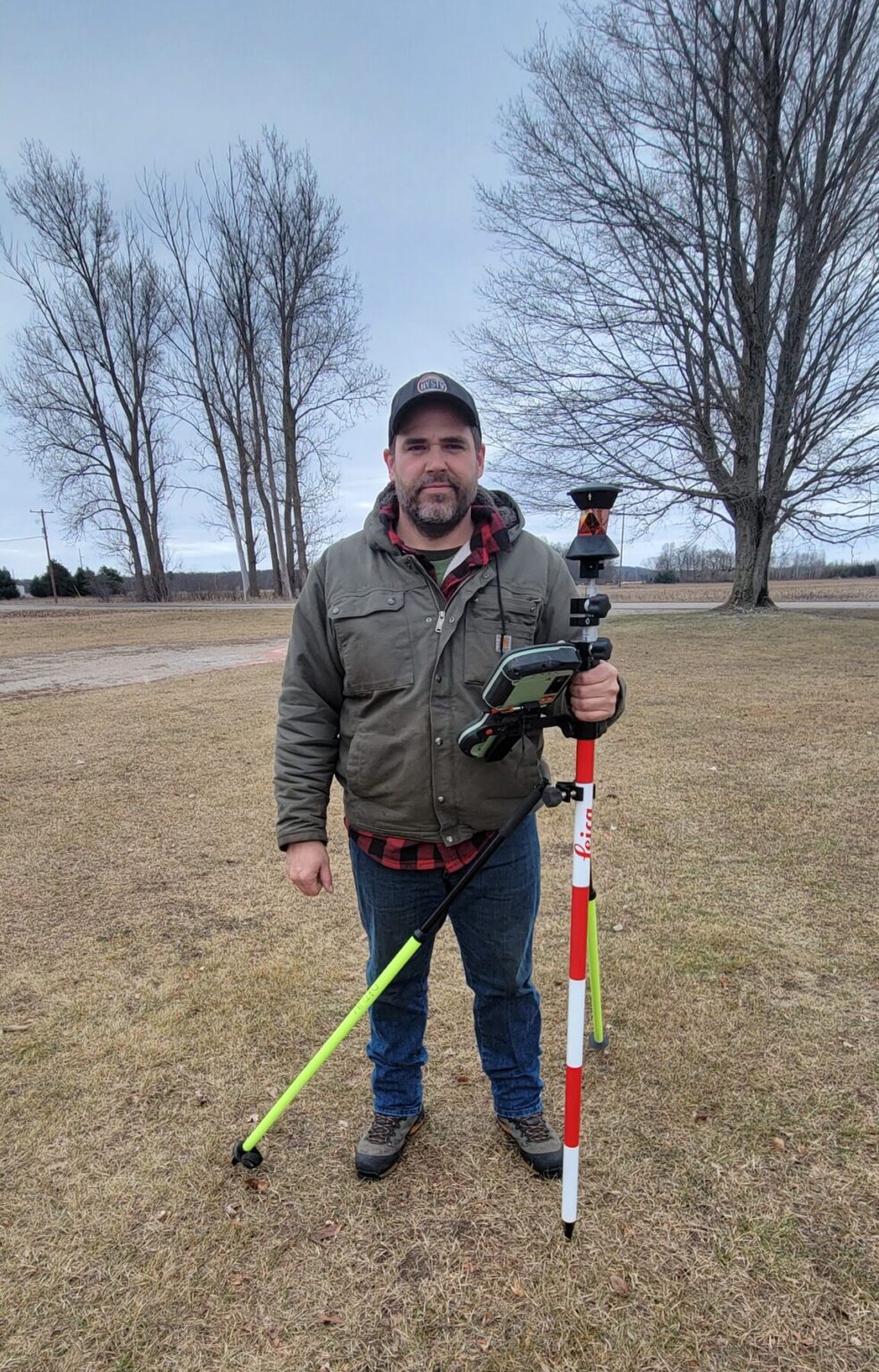
Jared P. Miller is a registered land surveyor within the State of Michigan, and is the founding owner of Miller Professional Surveying.
Our goal at Miller Professional Surveying is to offer the most prompt and professional service that we can provide. Integrity and Honesty are some of the Core Values we uphold.
“Remove not the ancient landmark, which thy fathers have set.” Proverbs 22:28
BACKROUND
Jared not only serves as a licensed land surveyor but is also a Veteran of the United States Marine Corps. serving during Operation Iraqi Freedom II.
Jared has earned a Bachelor of Science in Surveying and Engineering from Ferris State University & a Masters of Science in Civil Engineering from Purdue University.

Service Area
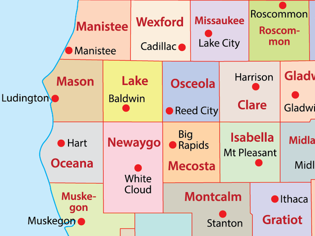
Central & West Michigan

Services
Boundary Survey
Miller Professional Surveying specializes in Boundary surveying. Our Licensed Land Surveyor will be physically in the field Surveying your property.
All our Surveys comply with Michigan Act 132 1970 as amended(Certified Surveys Act).
Please give us call or an email for a free quote today.
LAND DIVISIONS &
PARCEL LINE ADJUSTMENT
If you’re considering dividing your land, or need to adjust your property line. Miller Professional Surveying is here to help.
Some things to consider when dividing your land are: do your desired divisions comply with State and Local(township)
Laws IE minimum road frontage, acreage requirements, width to depth ratio to name a few. You can typically contact your local township about their land division requirements.
Most zoned communities have the application posted on their website.
Give us a call and we will be happy to help you with the process.
EASEMENT & SETBACK LINES
Miller Professional Surveying can help you create and/or locate Easements.
If you ever want to improve your property it’s good to know where you can and can’t place improvements legally.
Knowing where your easement and setback lines always will help you develop a better plan where to place your improvements accordingly.
TOPOGRAPHY & SITE PLANS
We provide Site plans and topographic surveys that will meet your local municipalities requirements.
MORTGAGE REPORT
A Mortgage Report is NOT a Certified Survey. It only displays the most basic information and is used as tool for title companies to verify the home resides on the property and notes possible encroachments.
Boundaries are not marked, if corners do not exist they are not set. Typically the distances and directions are not accurate.
Contact Us
If your interested in our Land Surveying Services please apply for a Free Quote some things that will help us help you will be a DEED, a Parcel ID Number(this can be found on your taxes), and sketch of the desired work.
Please clarify if you would like any specific line marked or certain buildings or structures located.


